Log in
All resources
Create a design
40,080 Free Images of 1890 Maps
maps in the library of congress
maps made in the 17th century
maps by pieter schenk (i)
gerard valck
maps in the stadsarchief amsterdam
old maps of amsterdam
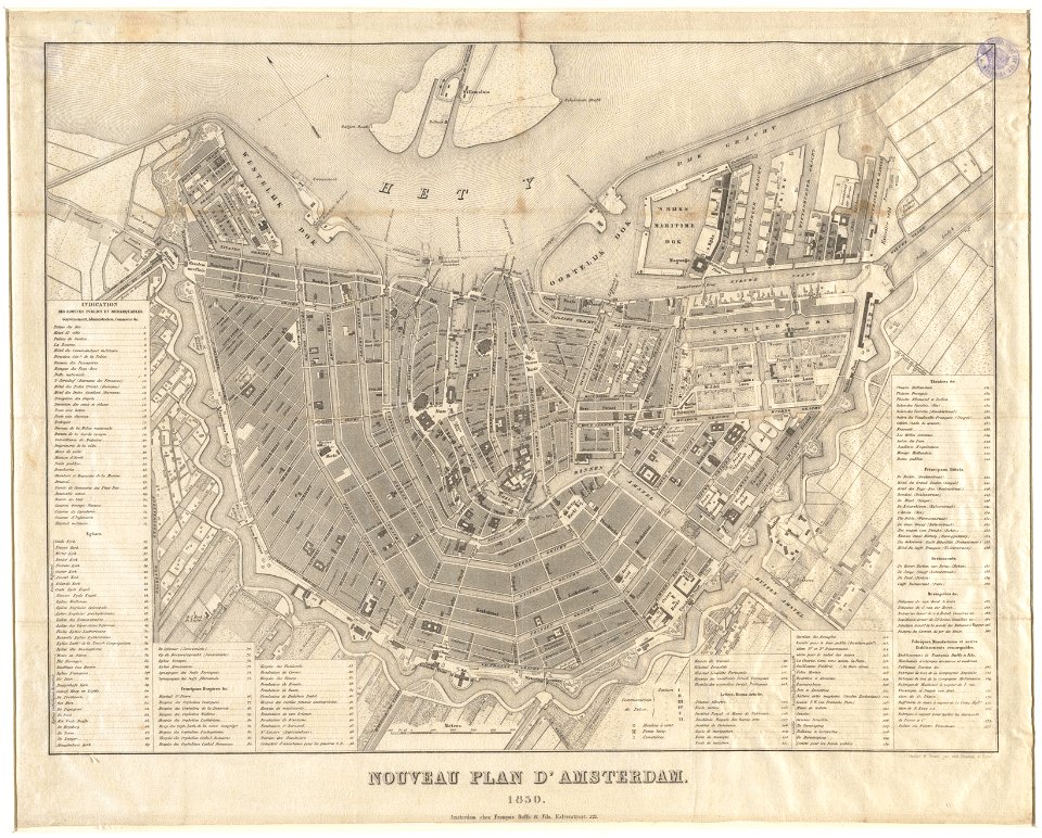
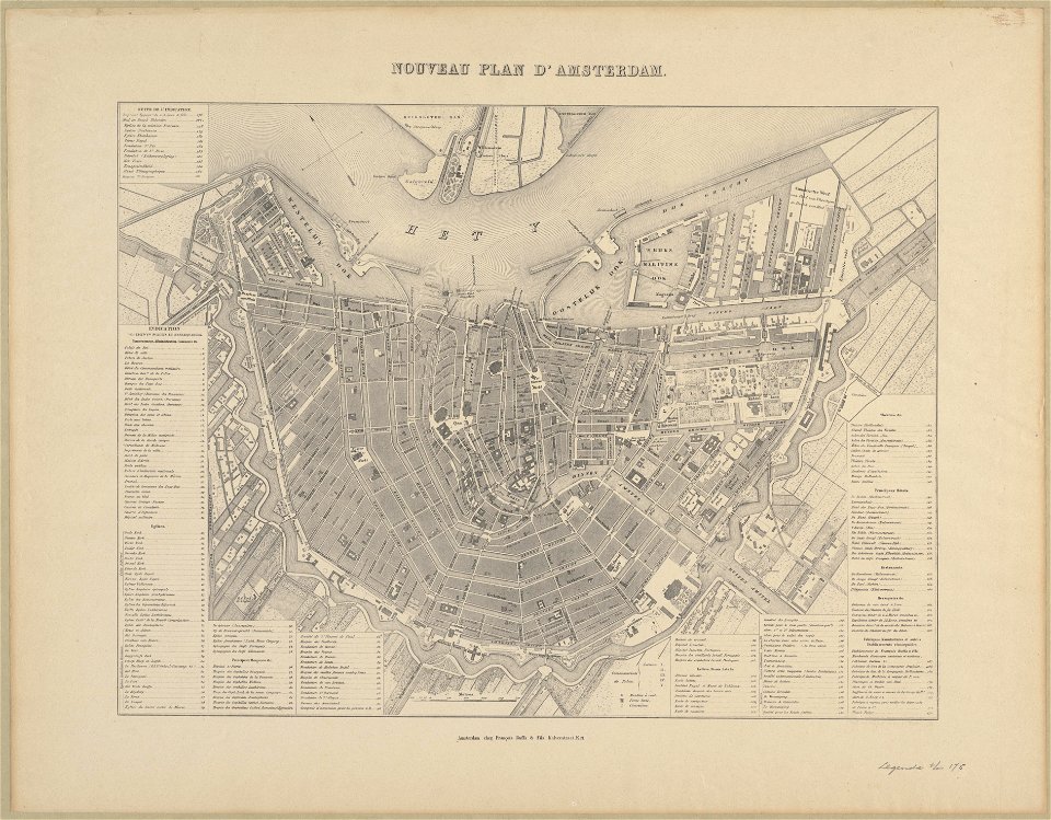
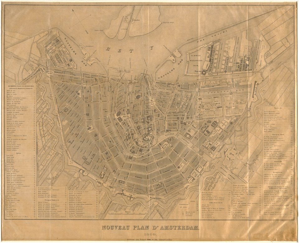
published by frans buffa & zonen
massachusetts
o. h. bailey
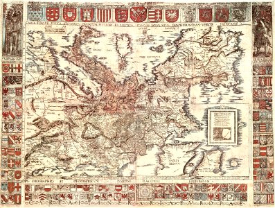
atlantis magni tomus secundus (biblioteca comunale di trento)
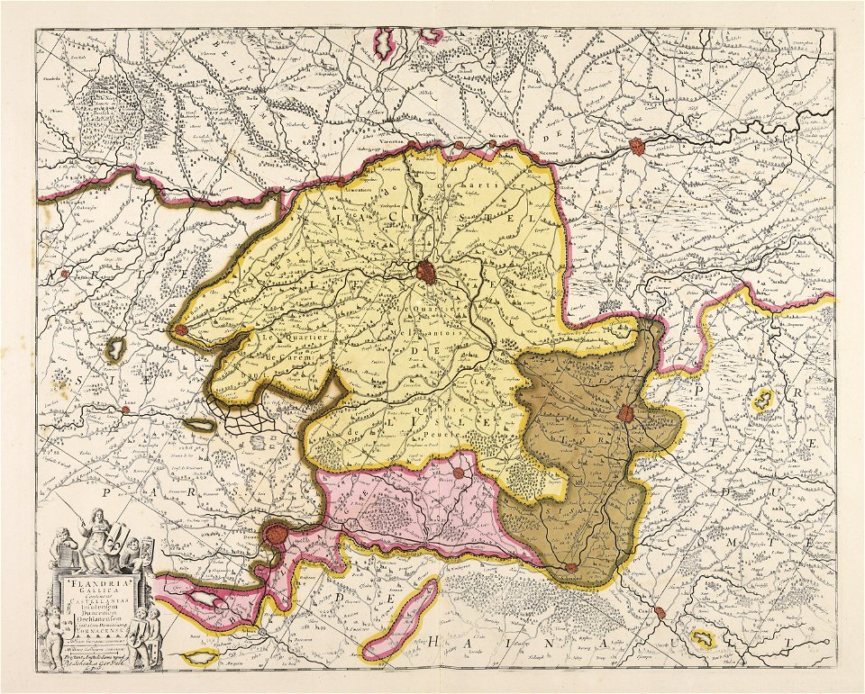
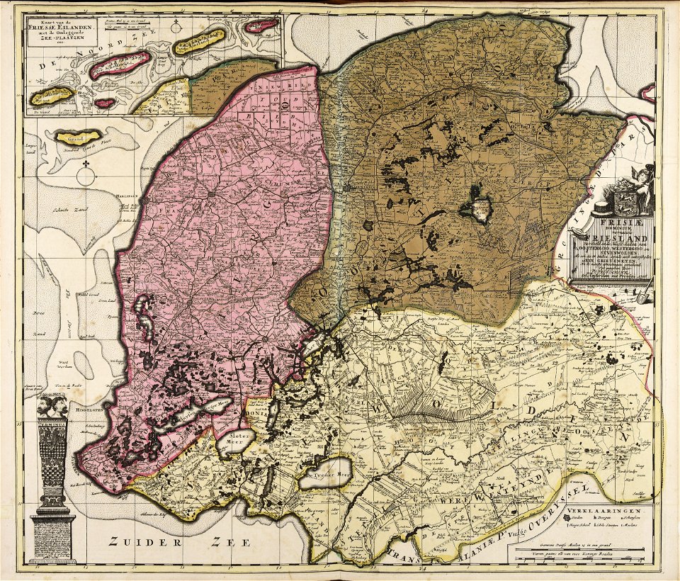
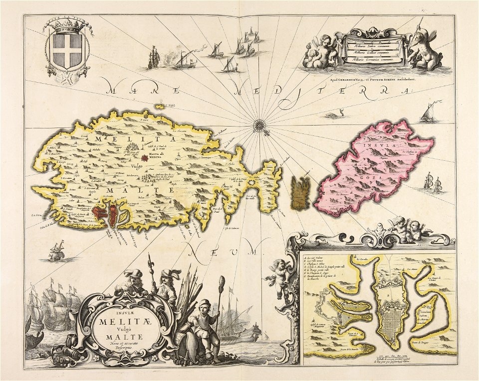
maps made in the 17th century
gerard valck
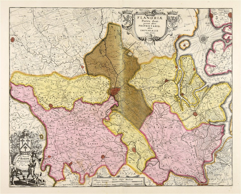
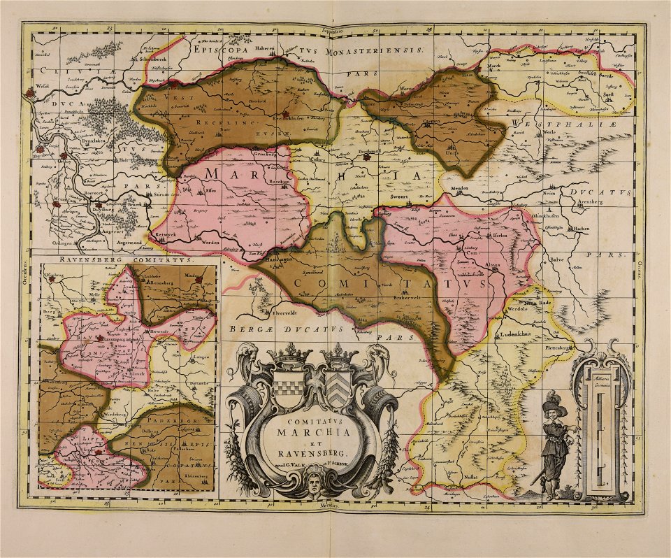
maps made in the 17th century
gerard valck
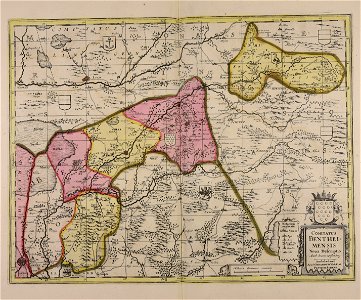
maps made in the 17th century
gerard valck
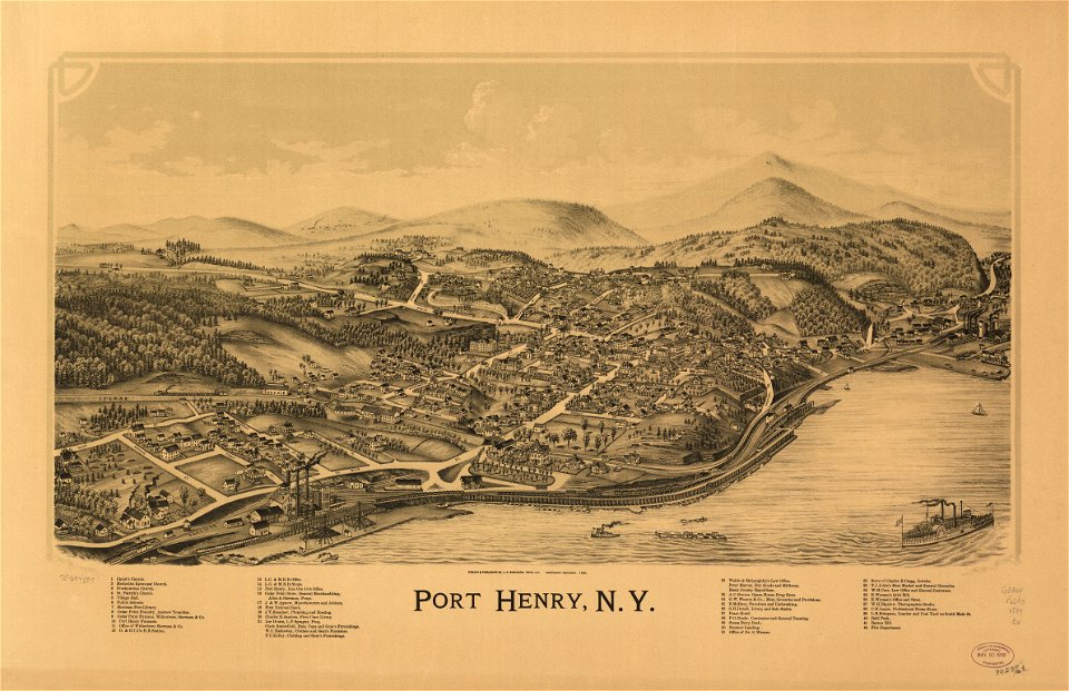
maps in the library of congress
new york
maps in the library of congress
new york
maps made in the 17th century
gerard valck
maps made in the 18th century
maps by pieter schenk (i)
maps made in the 17th century
gerard valck
maps made in the 17th century
gerard valck
birds in art of france
lions in art
maps made in the 17th century
gerard valck
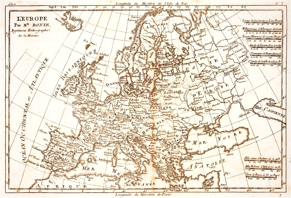
prints from bonne atlas de toutes les parties at the peace palace library
18th-century maps of europe
prints from bonne atlas de toutes les parties at the peace palace library
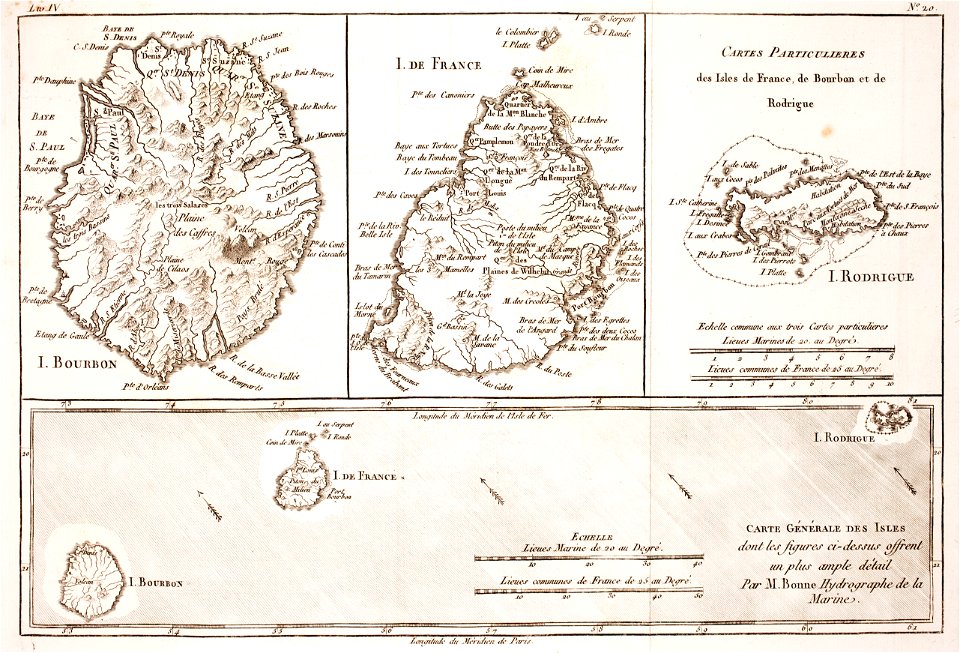
maps of rodrigues island
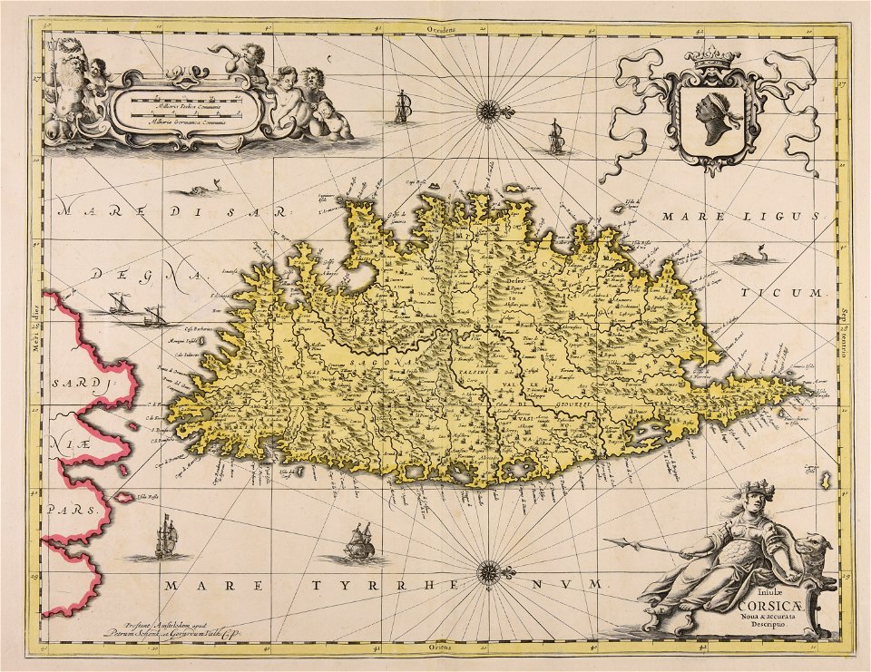
maps made in the 17th century
gulf of trieste
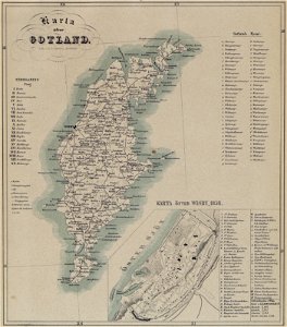
maps of gotland
pehr arvid säve
old maps of the british isles
maps made in the 18th century
maps made in the 17th century
gerard valck
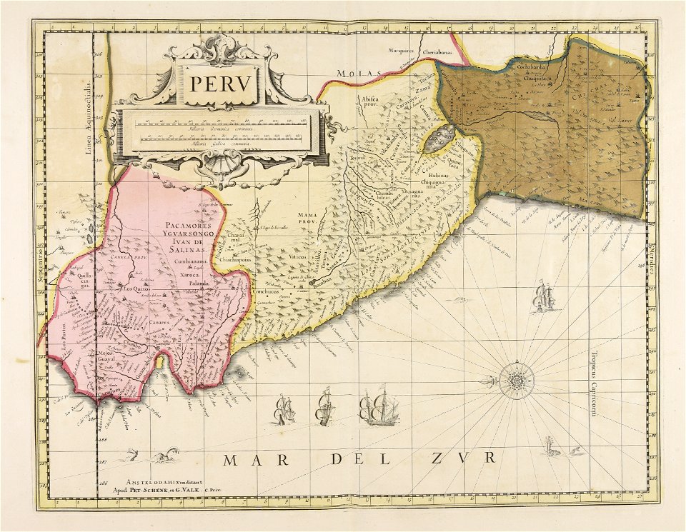
old maps of peru
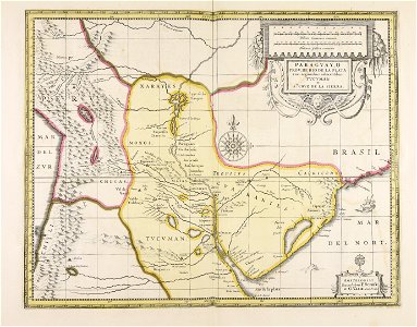
gerard valck
old maps of silesia
gerard valck
old maps of styria
gerard valck
old maps of nuremberg
gerard valck
maps made in the 17th century
gerard valck
maps made in the 17th century
nicolaes visscher ii
old maps of south africa
boer
coats of arms of galicia (spain)
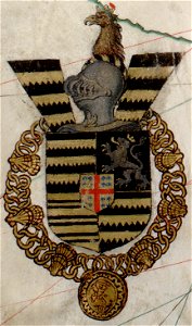
holy roman empire
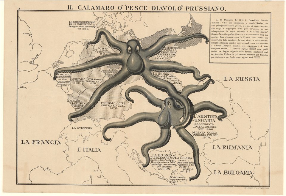
l'illustration
1862
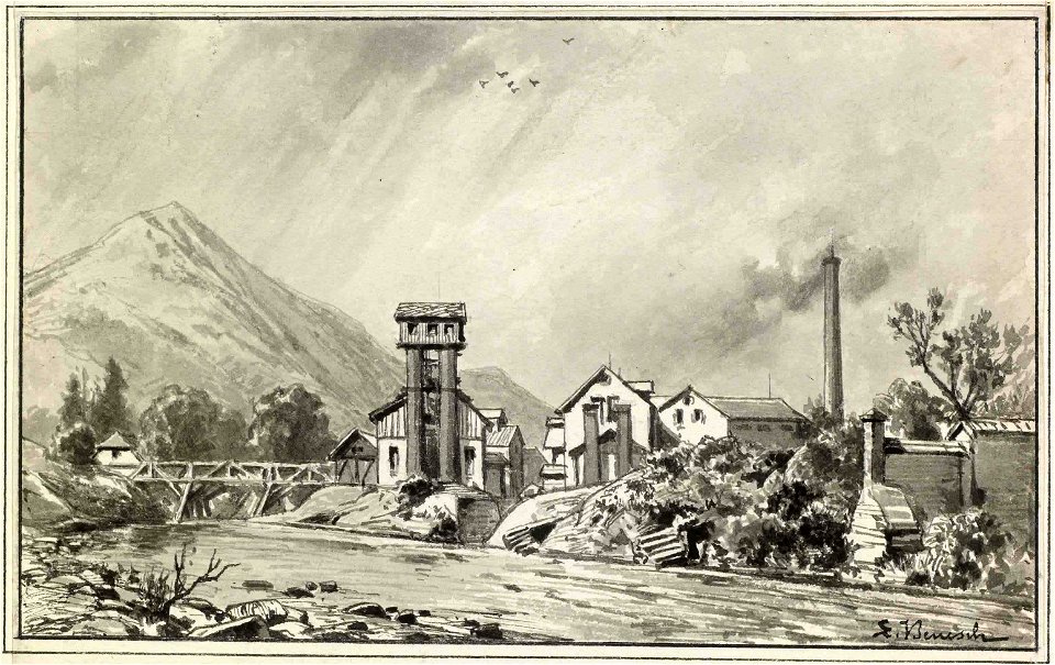
pulp and paper mills in art
goričan
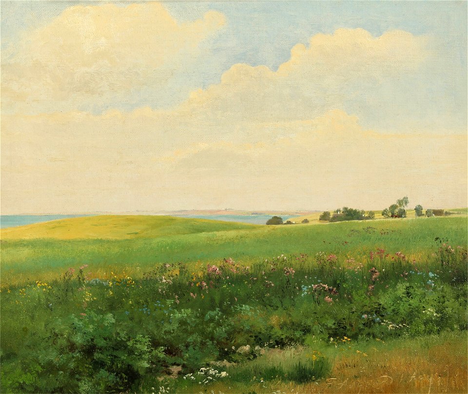
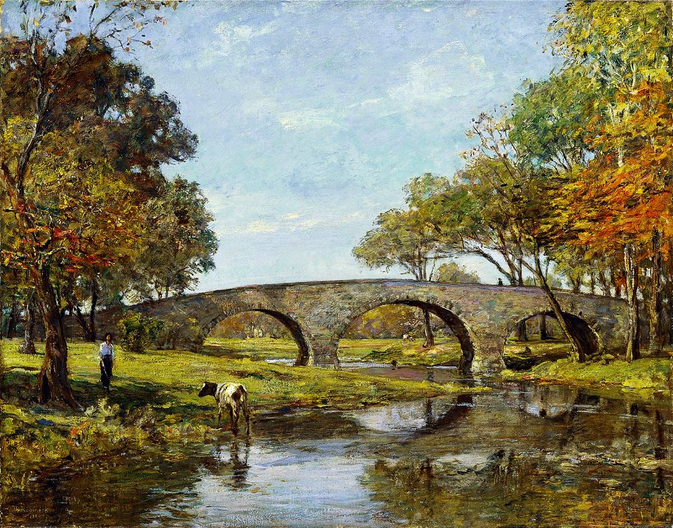
landscape paintings of denmark
oil paintings of landscapes
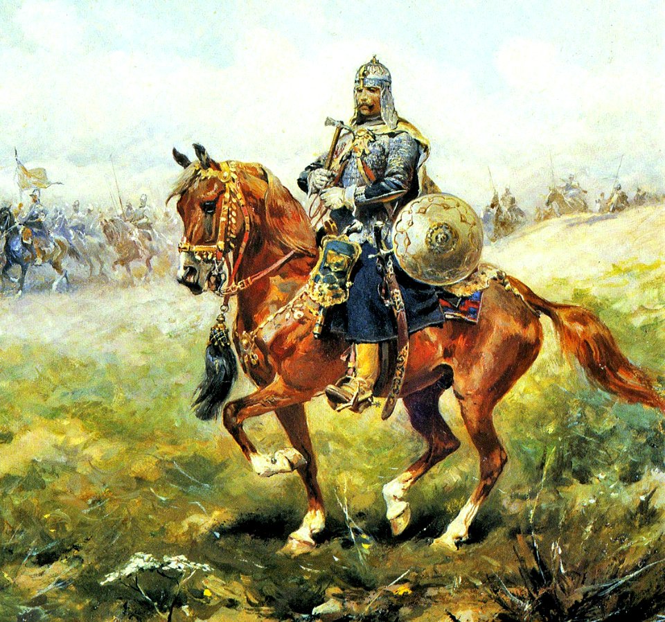
paintings by józef brandt
cavalry of poland
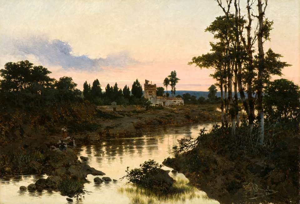
paintings by rafael romero barros in the museo de bellas artes de córdoba
landscape paintings in the museo de bellas artes de córdoba
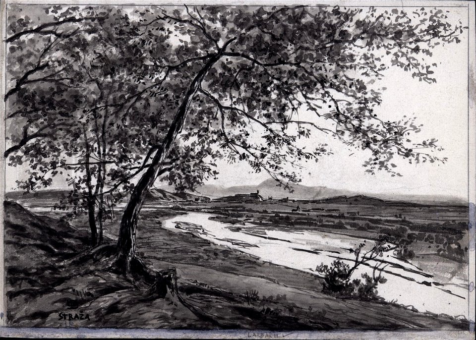
19th-century views of ljubljana castle from ljubljana
19th-century drawings of ljubljana
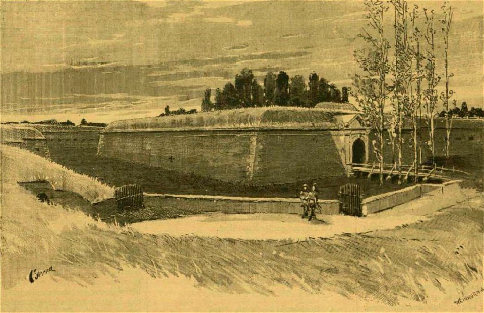
images of vasárnapi ujság in 1899
károly cserna
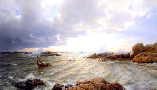
paintings of ships in distress
1890 oil on canvas paintings
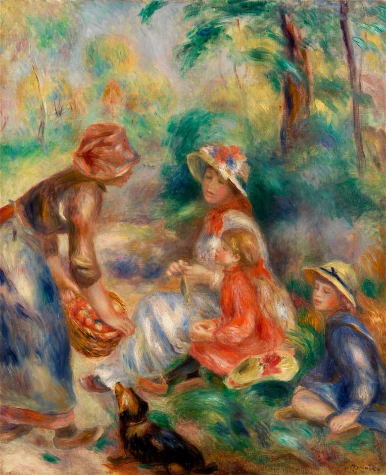
paintings of women and children by pierre-auguste renoir
1890 paintings by pierre-auguste renoir
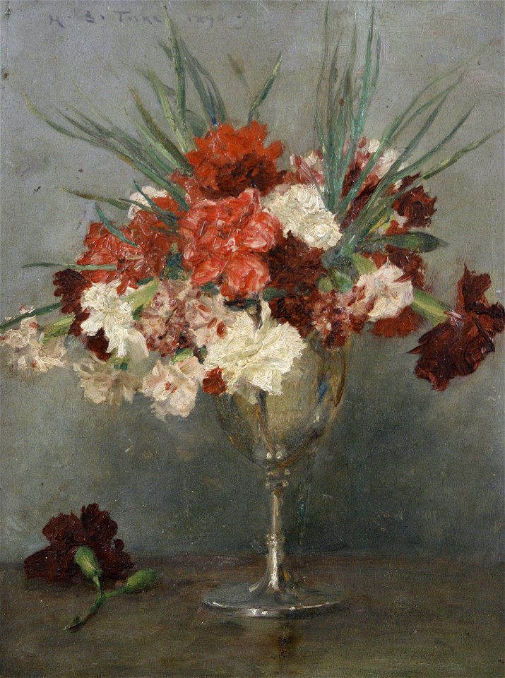
still-life paintings of carnations or pinks
1890s still-life paintings
oil paintings of children
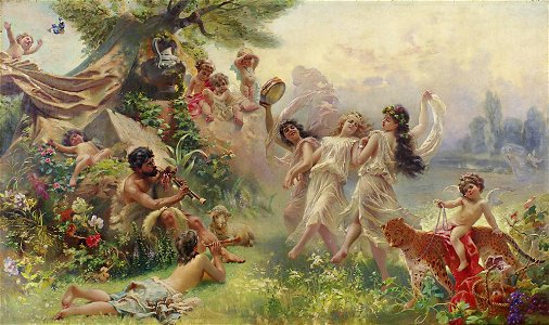
arcadia in art
paintings by pierre-auguste renoir in the musée d'orsay
works by pierre-auguste renoir by fezzi number
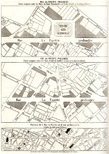
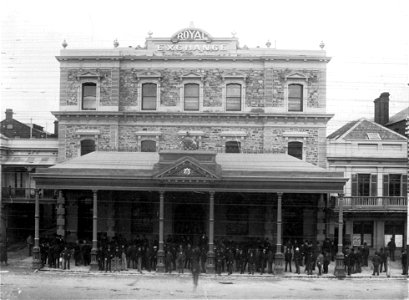
king william street
adelaide
19th-century paintings of madrid
1890s landscape paintings
postage stamps and postal history of the united states
postal covers of the united states
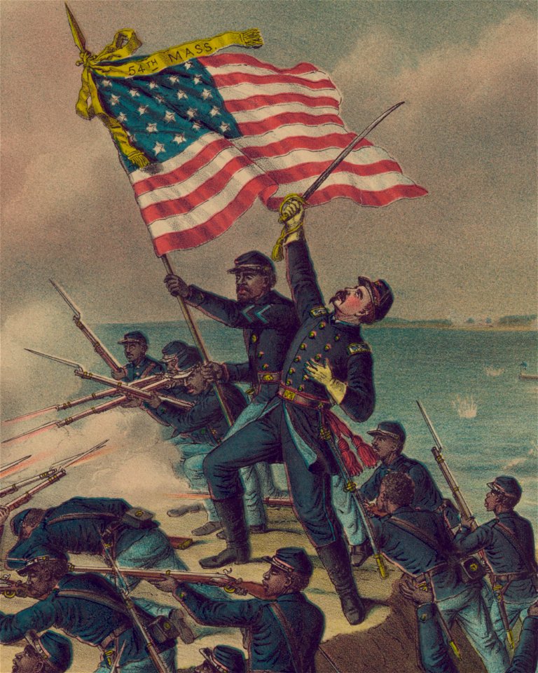
african american soldier
explosions in art
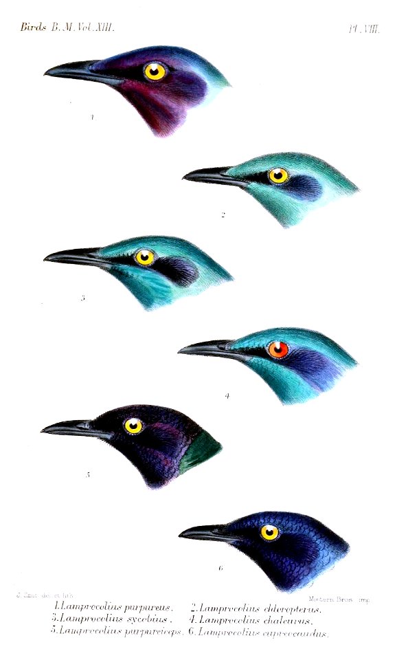
bird illustrations by joseph smit
sturnidae illustrations
maps in the library of congress
sailing ships of spain
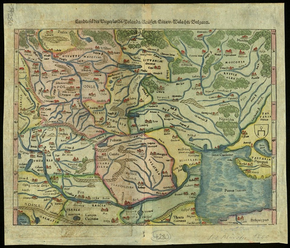
maps by sebastian münster
old maps of slovakia
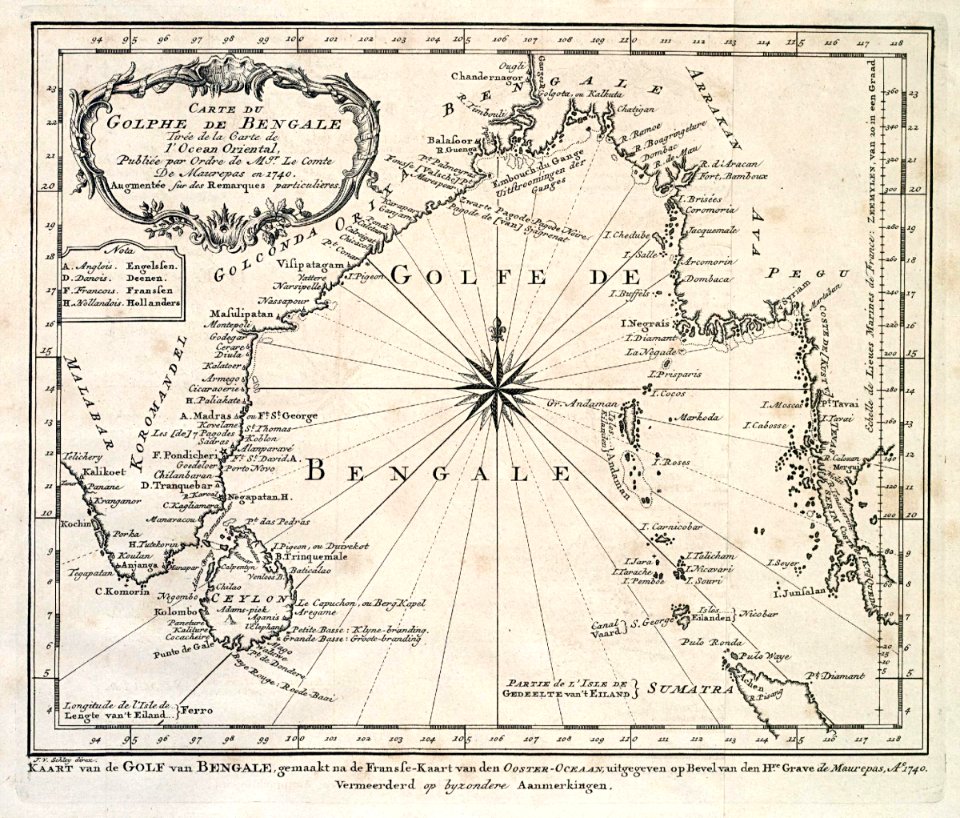
dutch bengal
1747)
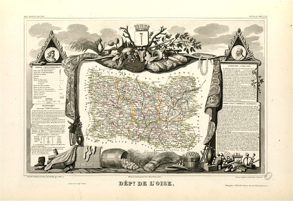
coats of arms of cities in oise
old maps of oise
maps by willem and johannes blaeu
wijnhaven, the hague
19th-century maps of the spanish empire
1810s maps of south america
old maps of austria-hungary
austro-hungarian army
johann christoph winkler
old maps of prague
maps in the library of congress
new york
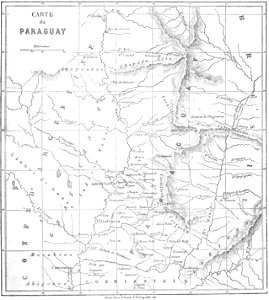
maps by alexandre vuillemin
old maps of paraguay
ancient egypt
egypt
1590s maps of the world
frans hogenberg
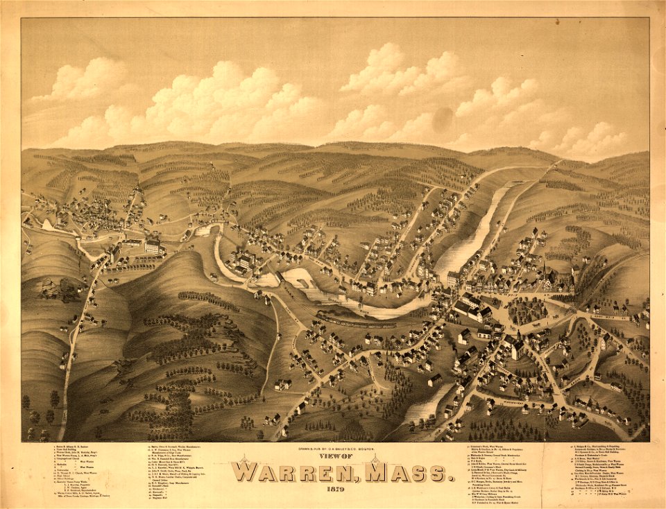
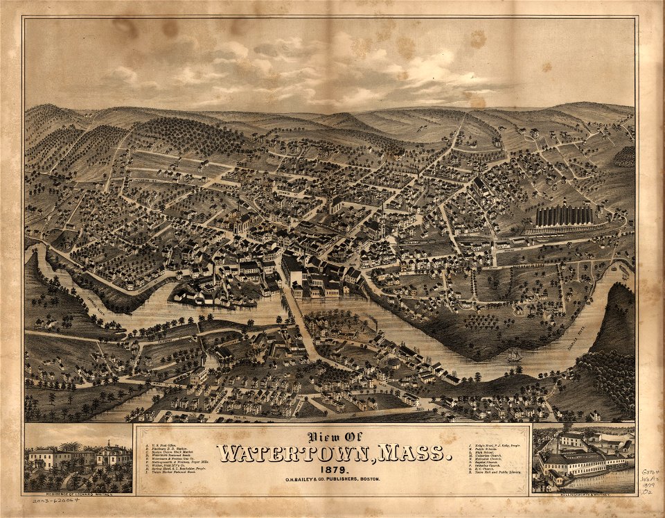
massachusetts
warren
massachusetts
watertown
massachusetts
warren
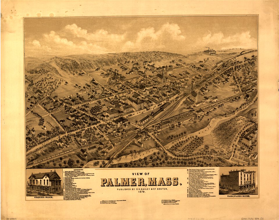
massachusetts
palmer
massachusetts
palmer
maps in the library of congress
washington
maps in the library of congress
washington
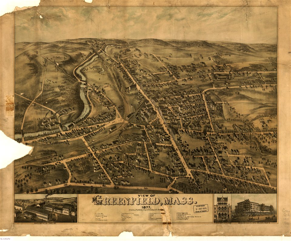
massachusetts
greenfield
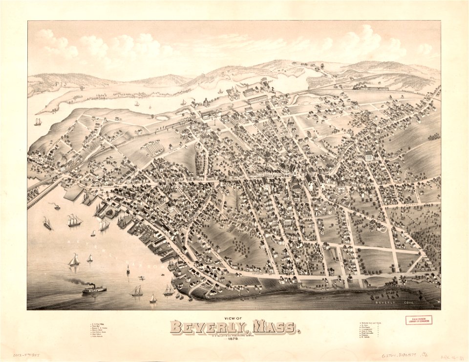
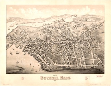
massachusetts
beverly
massachusetts
greenfield
massachusetts
beverly
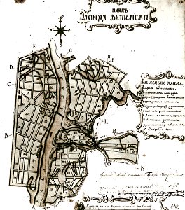
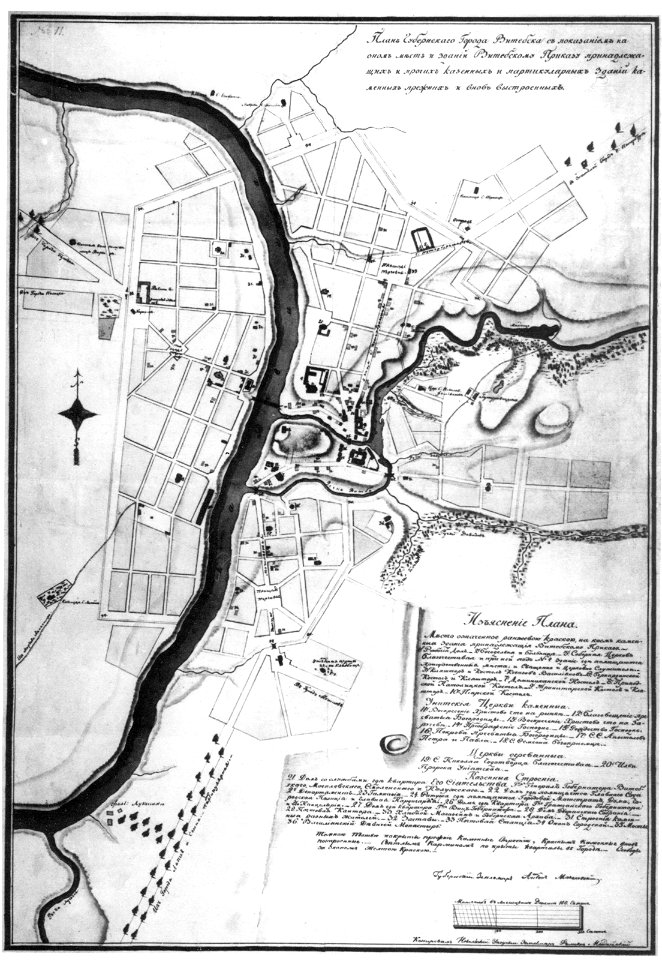
maps in russian state archives of ancient documents
historical images of viciebsk
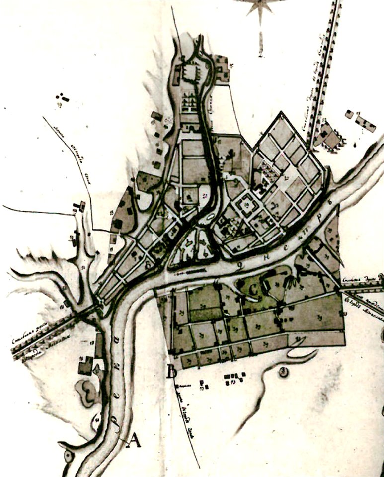
maps in russian state archives of ancient documents
historical images of orša
maps in russian state archives of ancient documents
historical images of viciebsk
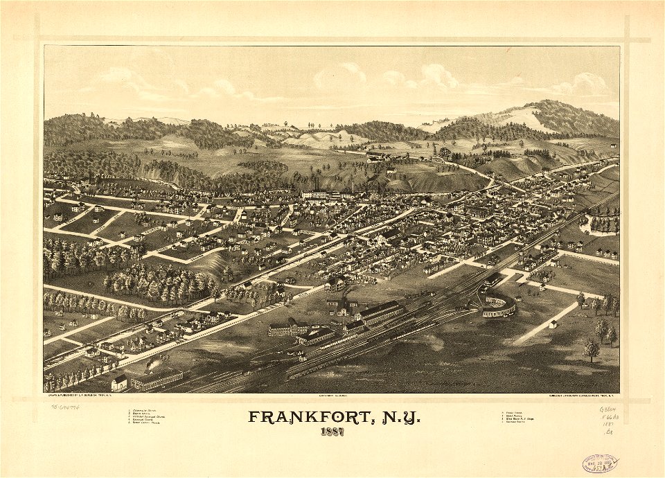
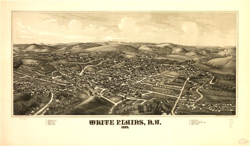
maps in the library of congress
l. r. burleigh
university of toronto wenceslas hollar digital collection
old maps of wales
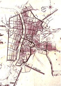
maps in russian state archives of ancient documents
historical images of viciebsk
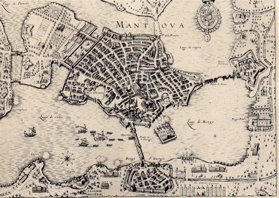
claudio monteverdi
history of mantua
western pomerania
maps of stralsund
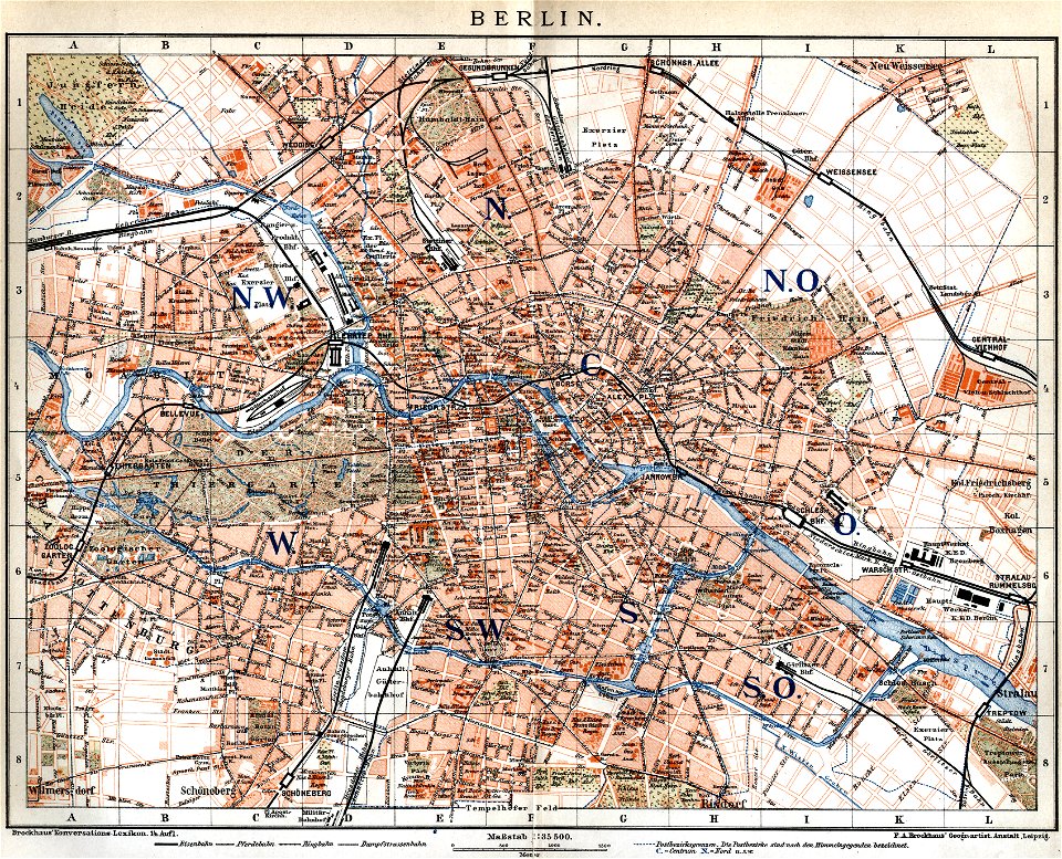
19th-century maps of berlin
maps by brockhaus
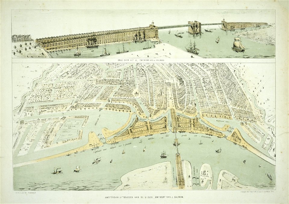
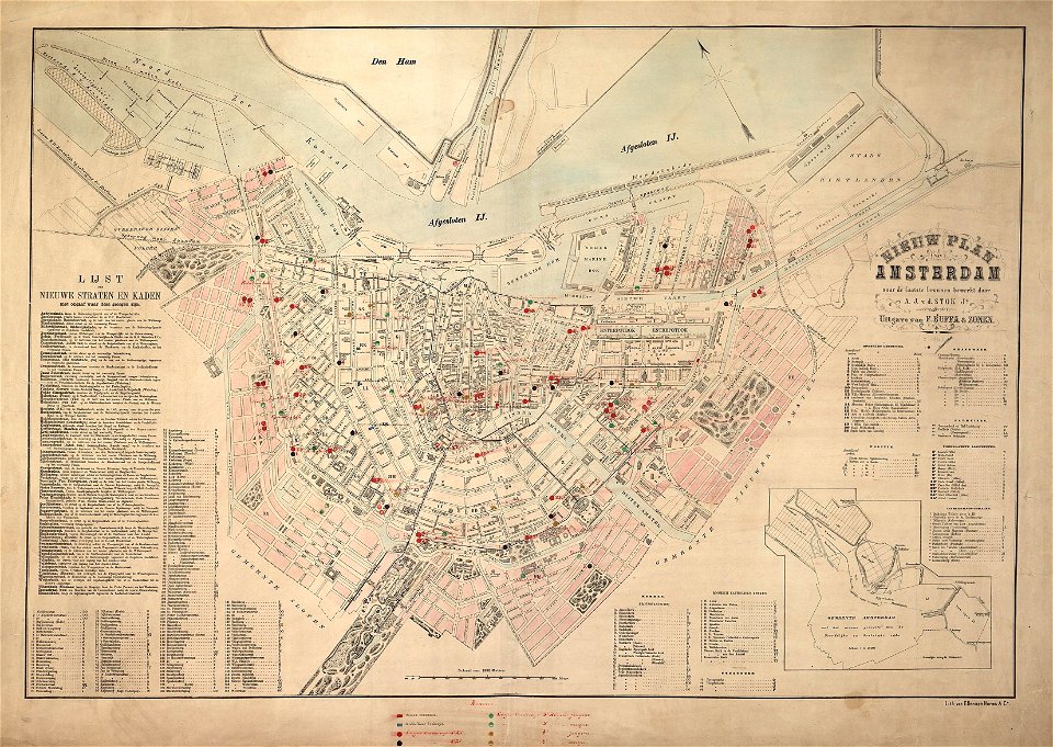
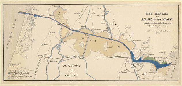
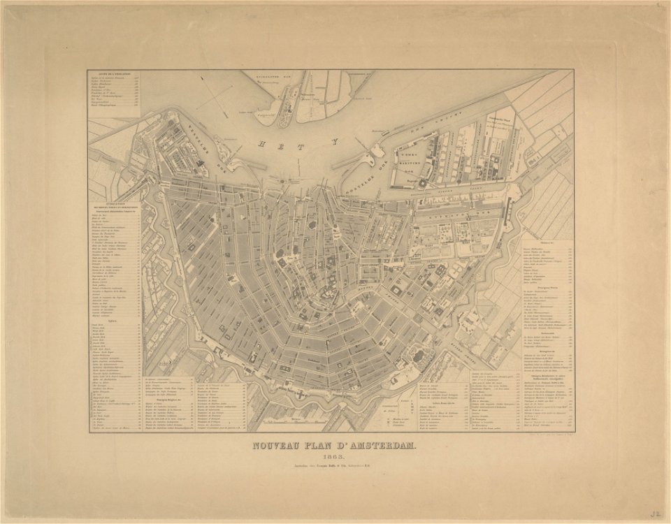
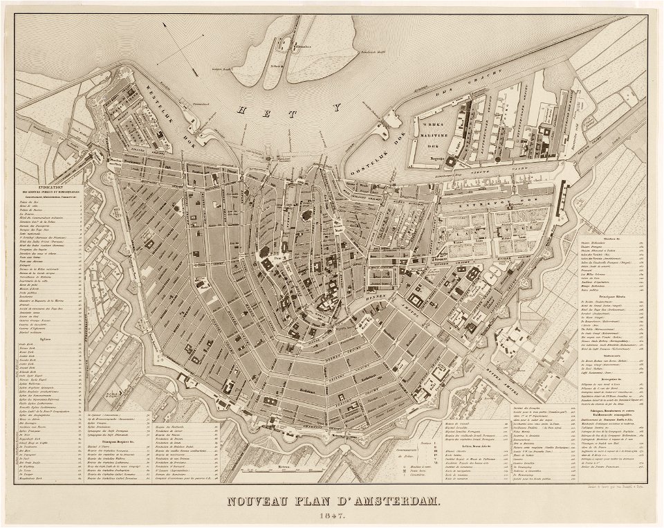
maps in the stadsarchief amsterdam
old maps of amsterdam
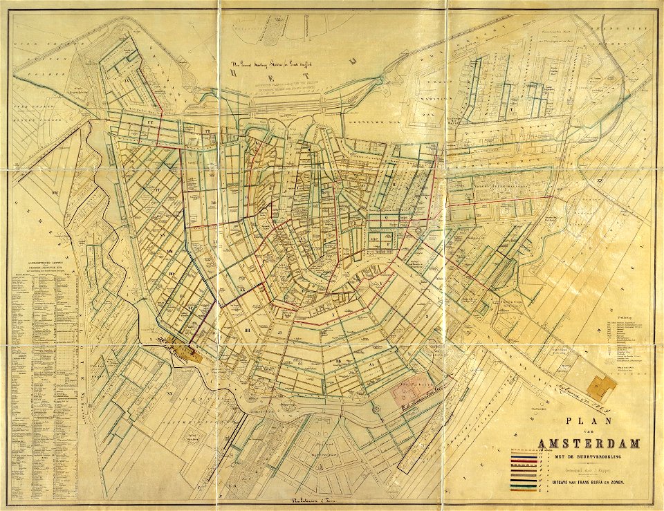
maps in the stadsarchief amsterdam
old maps of amsterdam
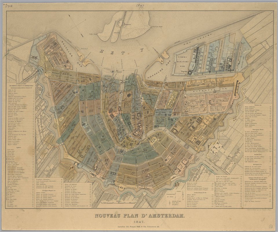
maps in the stadsarchief amsterdam
old maps of amsterdam
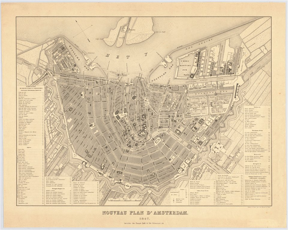
maps in the stadsarchief amsterdam
old maps of amsterdam
maps in the stadsarchief amsterdam
old maps of amsterdam
maps in the stadsarchief amsterdam
old maps of amsterdam
maps in the stadsarchief amsterdam
old maps of amsterdam
maps in the stadsarchief amsterdam
old maps of amsterdam
maps in the stadsarchief amsterdam
old maps of amsterdam
maps in the stadsarchief amsterdam
old maps of amsterdam
maps in the stadsarchief amsterdam
old maps of amsterdam
maps in the stadsarchief amsterdam
old maps of amsterdam
maps in the stadsarchief amsterdam
old maps of amsterdam
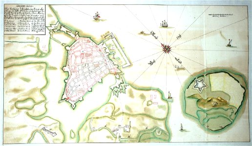
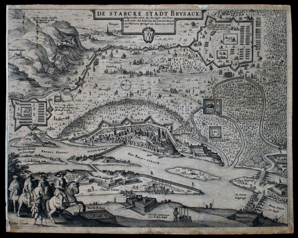
claes jansz. visscher (ii)
siege
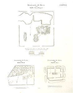
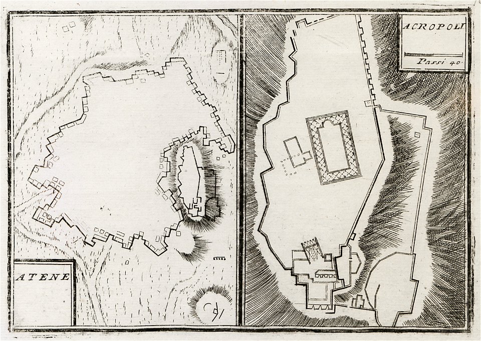
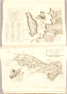
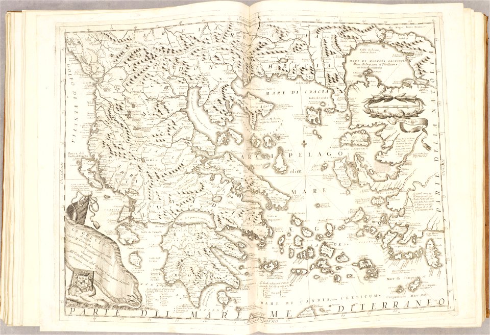
geographical illustrations by coronelli
old maps of athens
old maps of the aegean sea
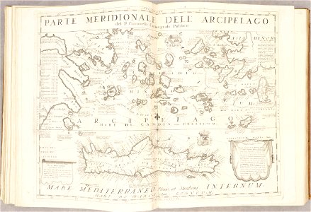
old maps of crete
atlante veneto (raremaps.com) volume 2
old maps of île de ré
old maps of the aegean sea
old maps of greece
maps by brockhaus
old maps of cairo
islands of california
nicolas de fer
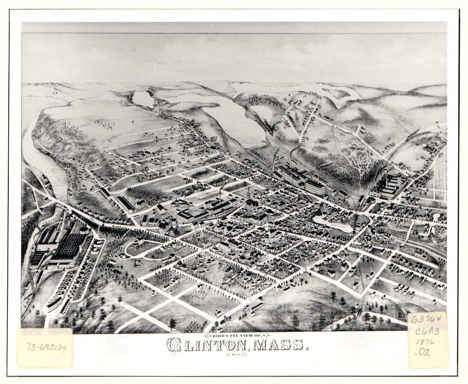
massachusetts
clinton
massachusetts
clinton
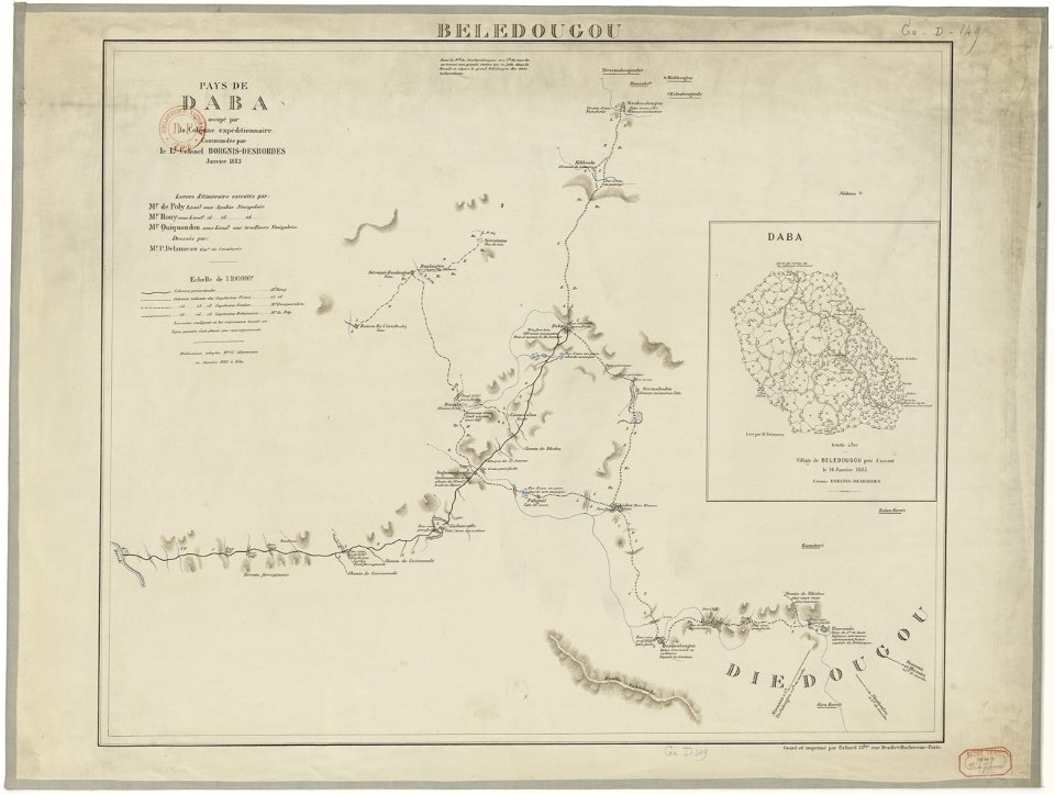
french colonization in africa
military maps
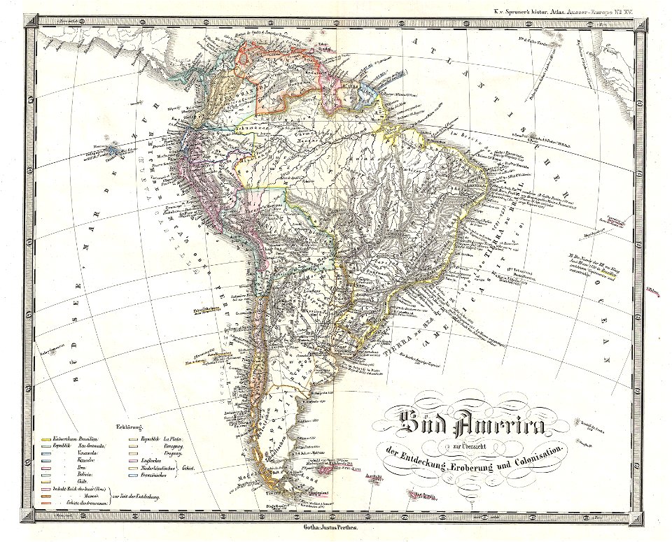
1850s maps of south america
karl spruner von merz
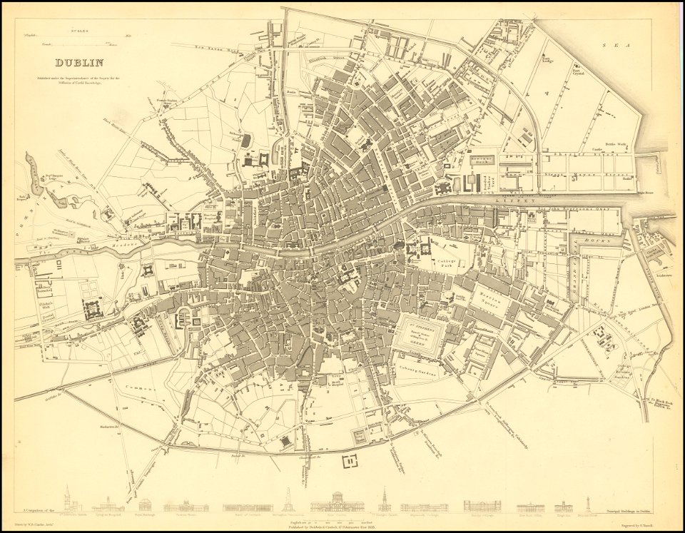
society for the diffusion of useful knowledge (great britain)
old maps of dublin
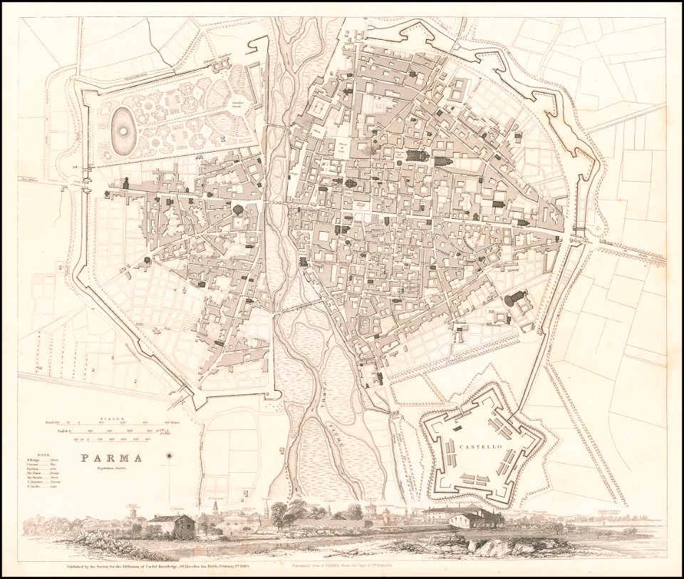
society for the diffusion of useful knowledge (great britain)
1840 maps
6401 - 6500 of 40,080
Next page
/ 401